Between the Volcanoes by Andy Briggs
Between the Volcanoes
Andy Briggs
In the late 1980’s, while serving with Mission Aviation Fellowship (MAF), I flew south of the equator to Goma, Zaire where I picked up a visiting administrator for the Assembly of God mission, along with his wife and a couple other passengers.
Goma was on the North shore of Lake Kivu at the foot of Mt. Nyiragongo, an active volcano in the Virunga range whose lava flows often gobbled up houses and even the macadam at the end of the international airport runway. The most active volcano in Africa, Nyamuragira was just 10 miles north of Nyiragongo.
I was not very familiar with the terrain nor the weather patterns of the region, so I asked some local pilots how they would go about making a flight to the North with the weather I was facing.
They said they would head out over Lake Kivu and climb above the mountains, then head north.
I was not permitted by MAF flight standards to enter the clouds, so that option was not open to me as the sky had a strange eerie gray overcast.
In my stupidity/naivete I started to the north, under the overcast, following a road. My forward visibility decreased by the mile as I continued and eventually, I was unable to keep the road in sight. The volcanoes were out there too, topping over 11,000’, but I couldn’t see them either in spite of their close proximity.
To turn around and go back might put me over the Rwanda border or into the side of a smoking mountain. So, I felt the safest option for me at that point was to circle and climb above the volcanoes altitude.
Being rather heavily loaded, the climb was slow and tedious, but after 20 minutes we topped 12,000’ and I felt sure that we were above the volcanoes peaks. While we were circling, I could always see the dim outline of the sun, so the overcast was more like smog than cloud and after our climb, we were still not on top of it.
Not being able to see the forest below, with no ground-based navigation aids and this being prior to the GPS era, all I could do was take up a heading for home and hold onto it.
After an hour, the visibility started to improve slightly, and I could catch glimpses of rivers and dirt roads as they passed directly under me. Forward visibility was still terrible, but we had a radio beacon on the roof of our house that provided guidance for the last 50 miles to help me find our grass airstrip among the towering rainforest. My cortisol levels were very high for most of that 2-hour trip.
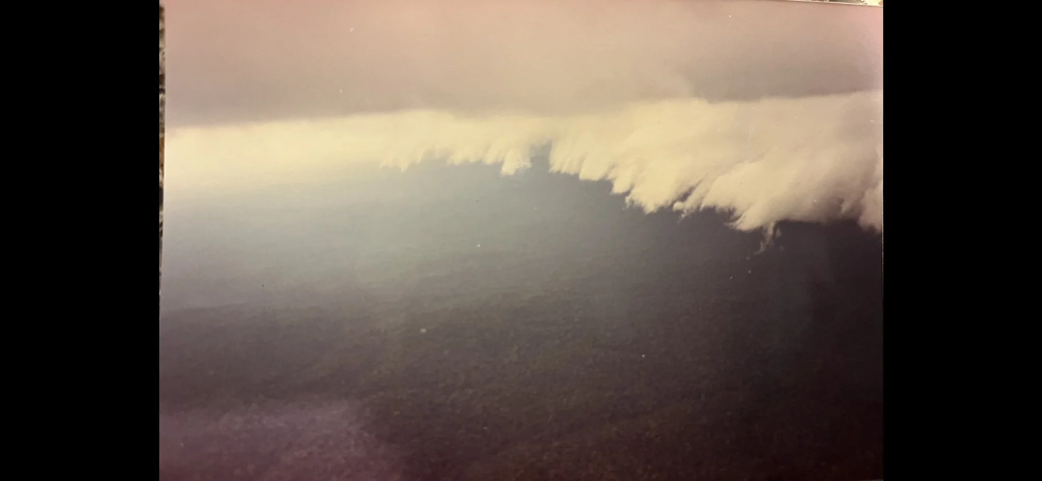
By the time I landed, I realized what was going on. This was called the “Harmattan”. I had seen it before, but never that far south. This wind blows Sahara dust down from the north to central Africa, but rarely as far as the equator. This presents itself very much like southern California smog.
Harmattan sky over central Africa
Unfortunately, about 2 weeks later under similar conditions, the pilot flying for the Catholic mission in a Cessna 206 just like mine crashed into the side of Nyiragongo volcano. The accident claimed 6 lives.

